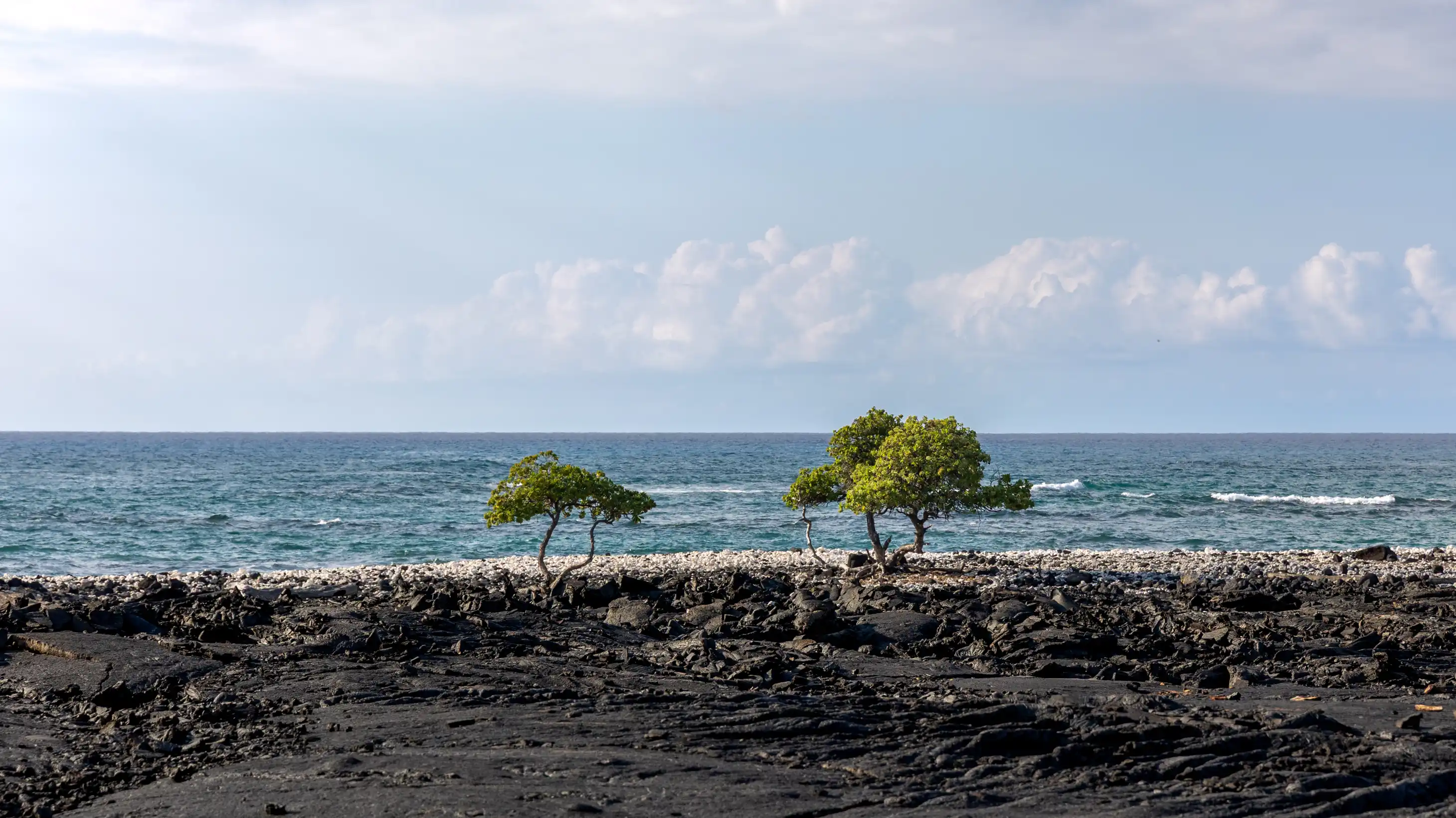
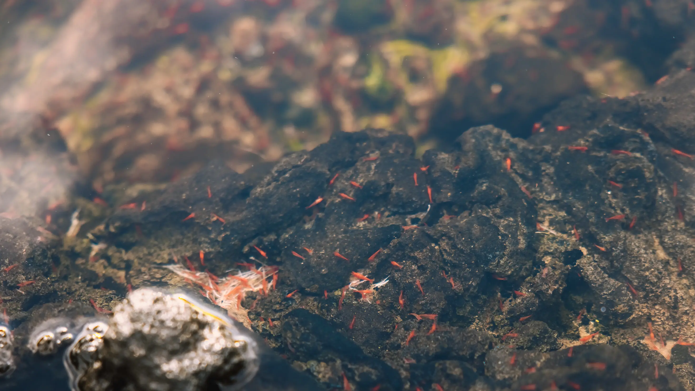
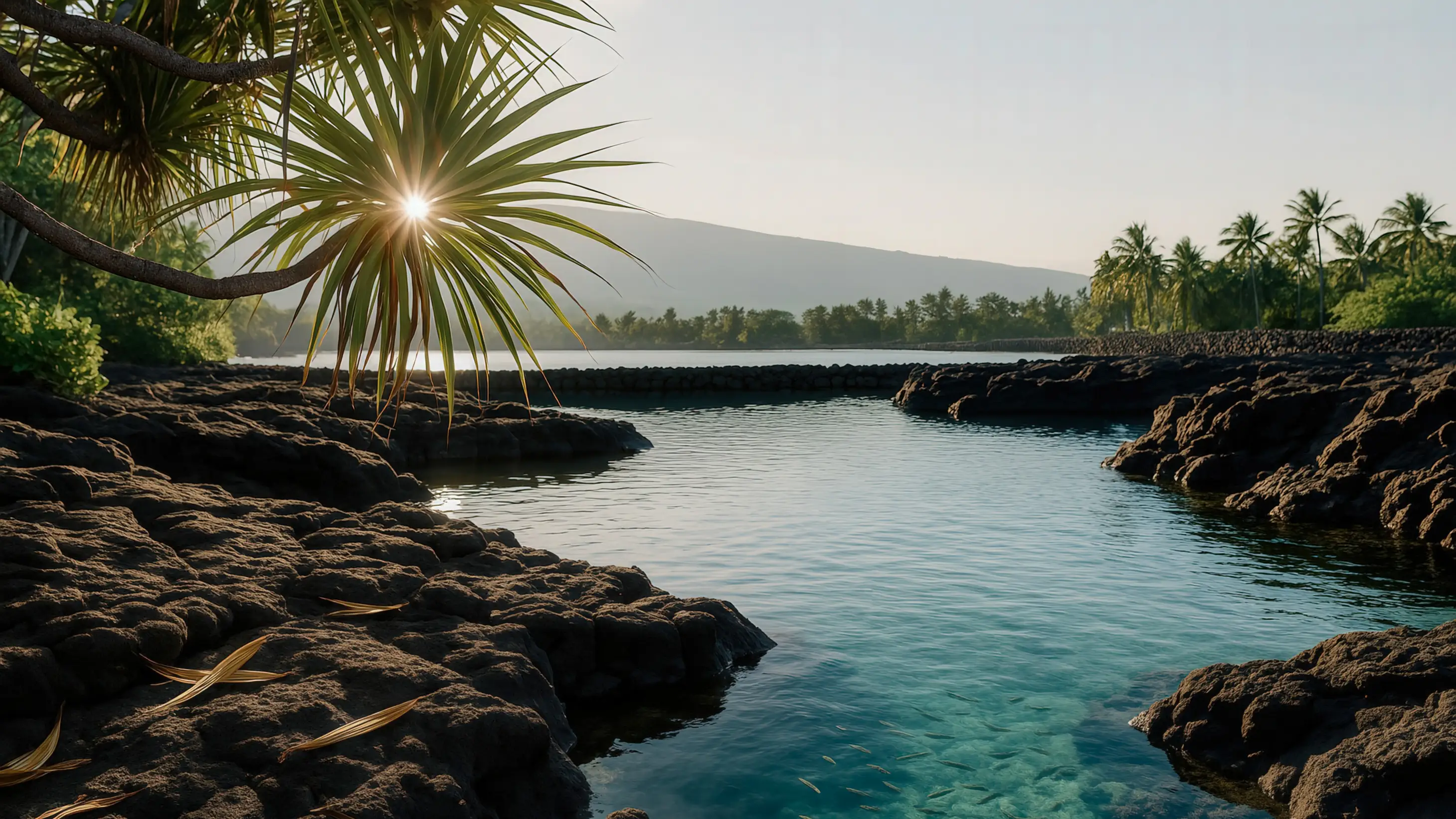
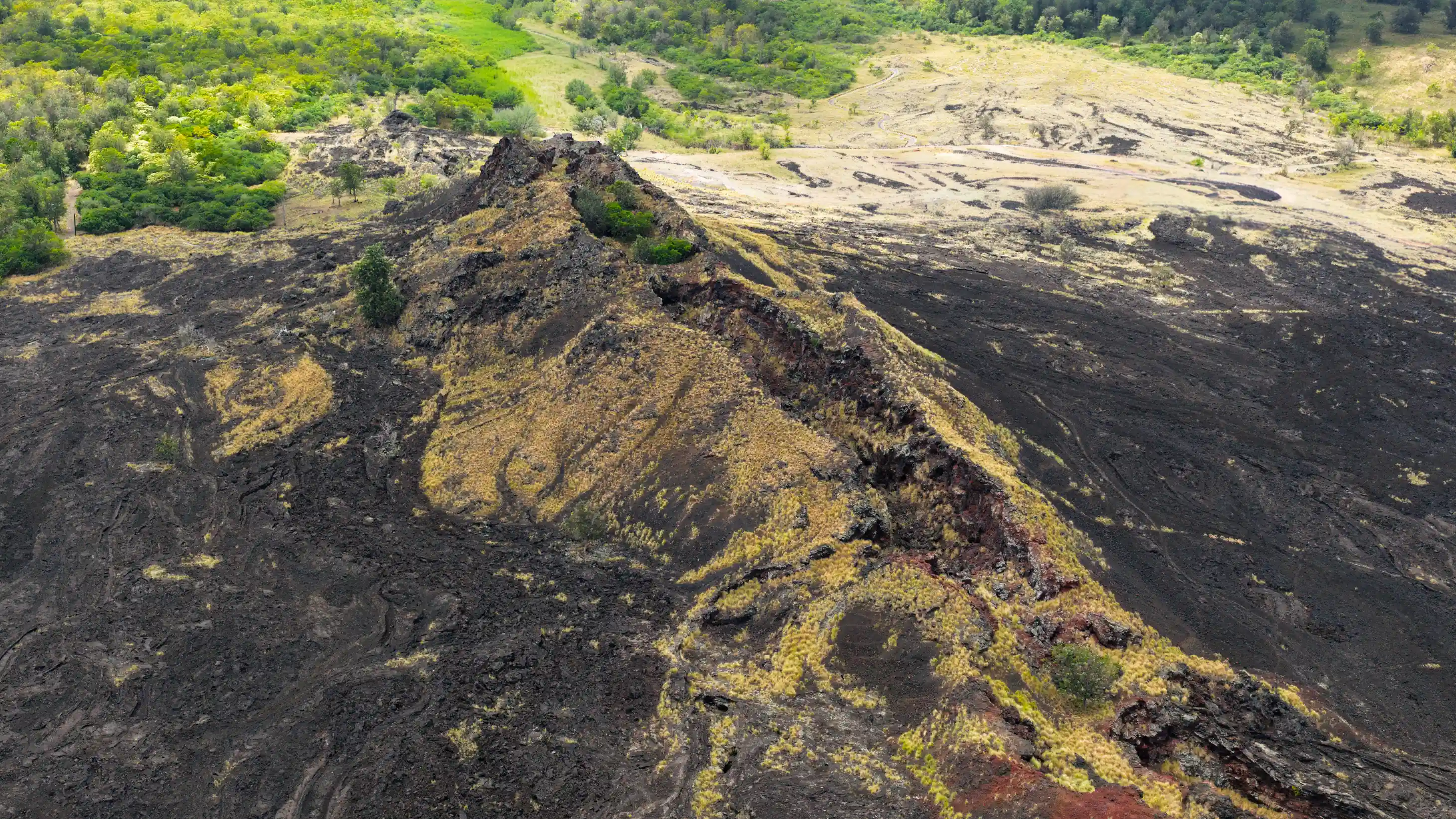
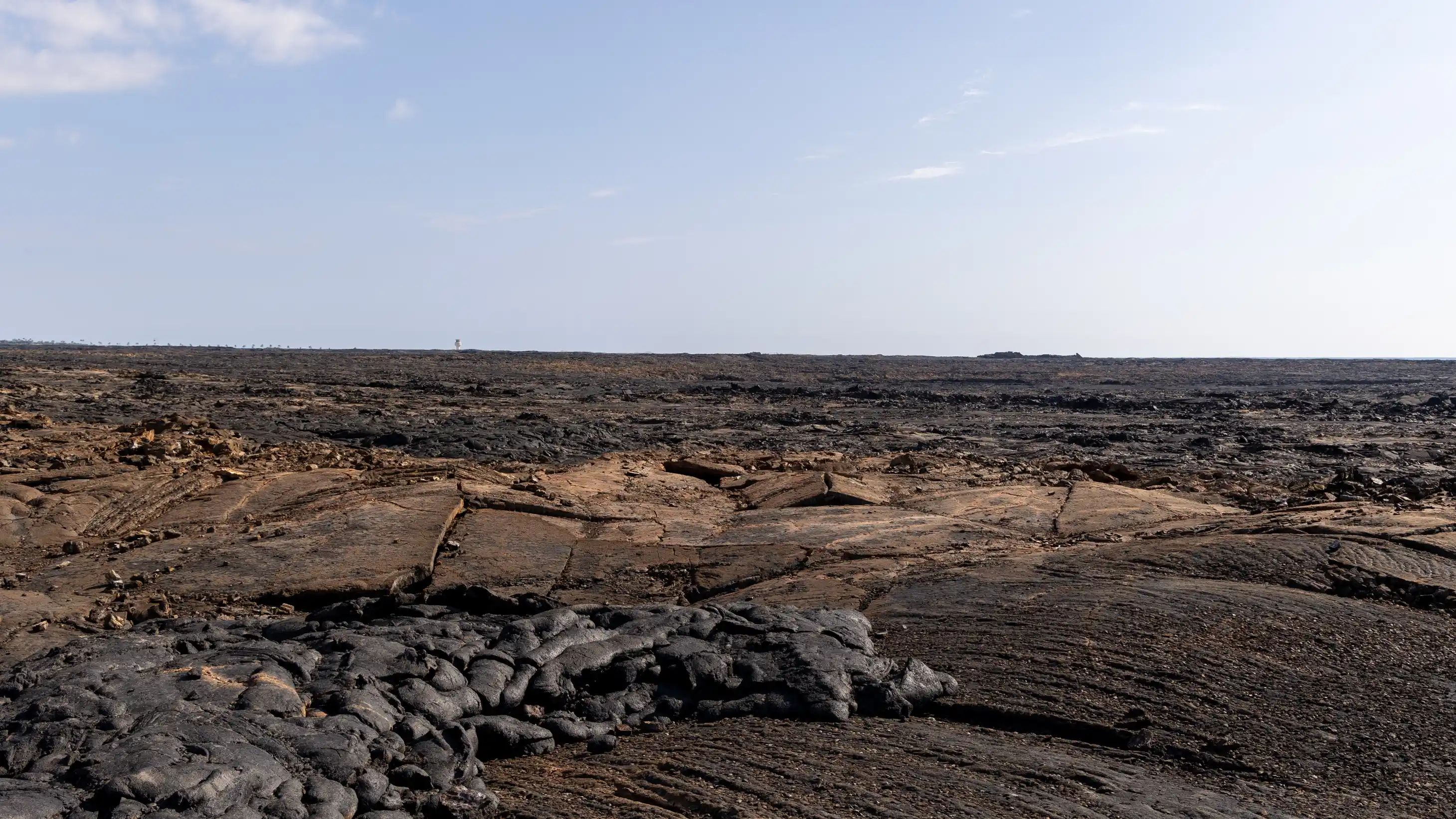
So, Pā‘aiea is on the southern edge of a region called Kekahawaiʻole, Kekaha without water. Some people translate it to Kekaha without streams, but our entire island pretty much doesn’t have streams except for the northeast slope of Mauna Kea and Kohala, where there’s a lot of water. But the lands of Kekahawaiʻole were probably the last places to be occupied by Native Hawaiians on this island because they were considered marginal. There was hardly any fresh water to be found there.
The weather is really dry, really hot. It can be subject to really strong winds at various times of year. Sometimes, even now when we go to Kailua, we can see days when the ocean is just white with this really strong wind that’s blowing down the coast from Kohala, the Mumuku, a howling gale blowing down the coast.
If you’re there in Kailua on a day like that, you can actually watch from the distance over there. You can watch the whitecaps just move down the coast, and it just gets white, white, white, white, white. That Mumuku can be very, very destructive.
But there are also the winds, the ʻEka, the general wind in the Kona district that blows up from the south because as the land heats up during the day, hot air rises off the land and it pulls in air from the ocean. The ʻEka is the Kona wind, the wind of Kona, because it’s on the other side of the island.
The windward side of the island's weather doesn’t get over there because Mauna Kea and Mauna Loa in the middle of the island block the trades from blowing over to the lee side. So you have the Mumuku blowing really hard, occasionally from Kohala. You have the ʻEka blowing up from the south, up along the coast of the island.
Then in the evening, when the land cools off relative to the ocean, the Kēhau breeze starts. That usually starts around 9:00 or 9:30 thirty at night. It’s a wind that blows, or a breeze that blows from the mountaintop out to sea.
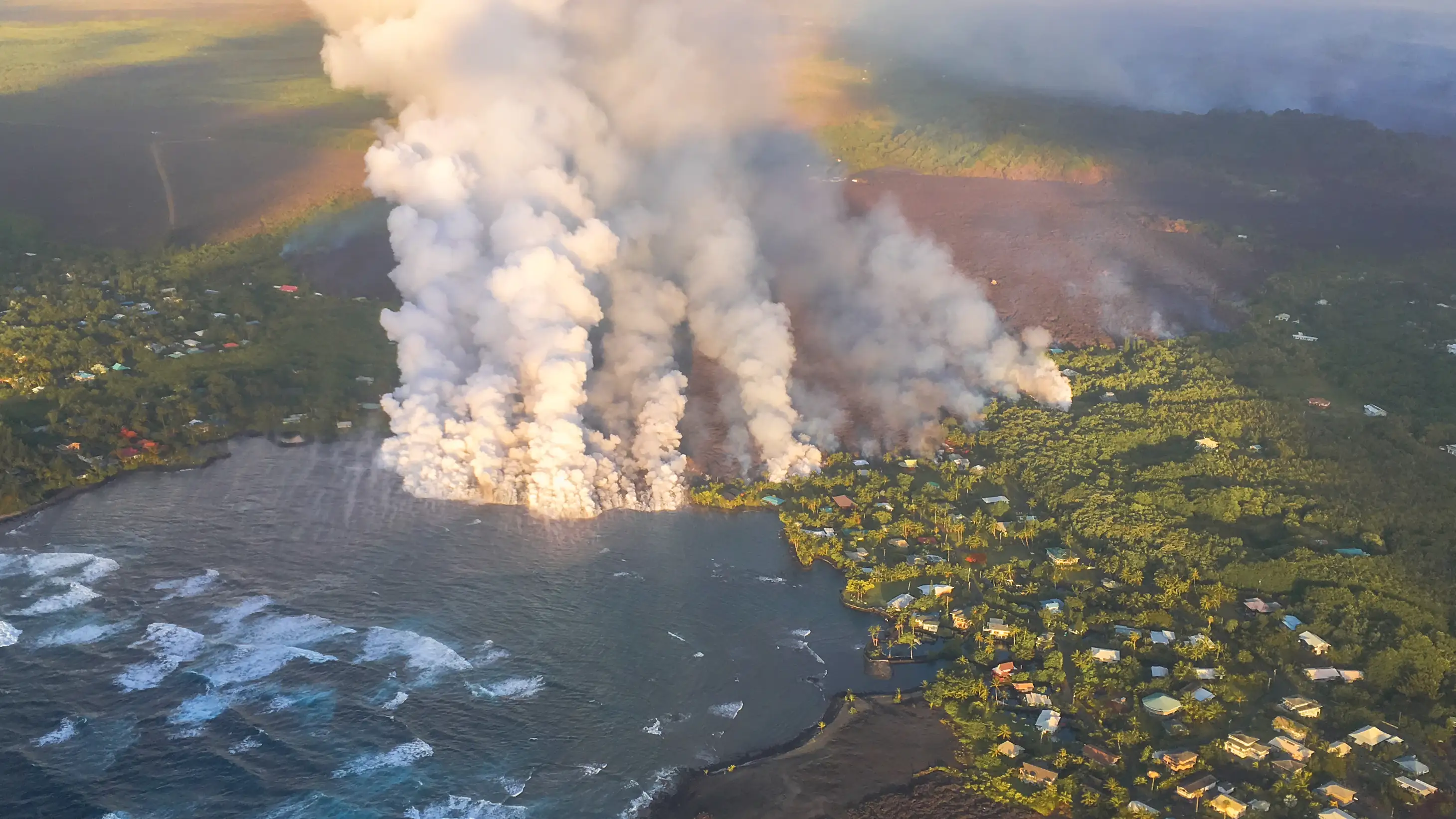
In Kona, it can be really chilly because Hualālai, at 8,500 feet elevation or so, gets cold at night. You can imagine the slope of Hualālai is really steep compared to that of Mauna Loa, which is just a really broad, gentle shield. So here we’re on Kīlauea, but the summit of Kīlauea is forty miles away in a straight line. The flows that we’re looking at in East Hawaiʻi, the area south of Hilo, are all forty-mile-long lava flows. The flows on Hualālai, on the other hand, are just maybe several miles long at the most. Many of them are just a few miles long.

