Pāʻaiea, The Storied Fishpond of kamehameha
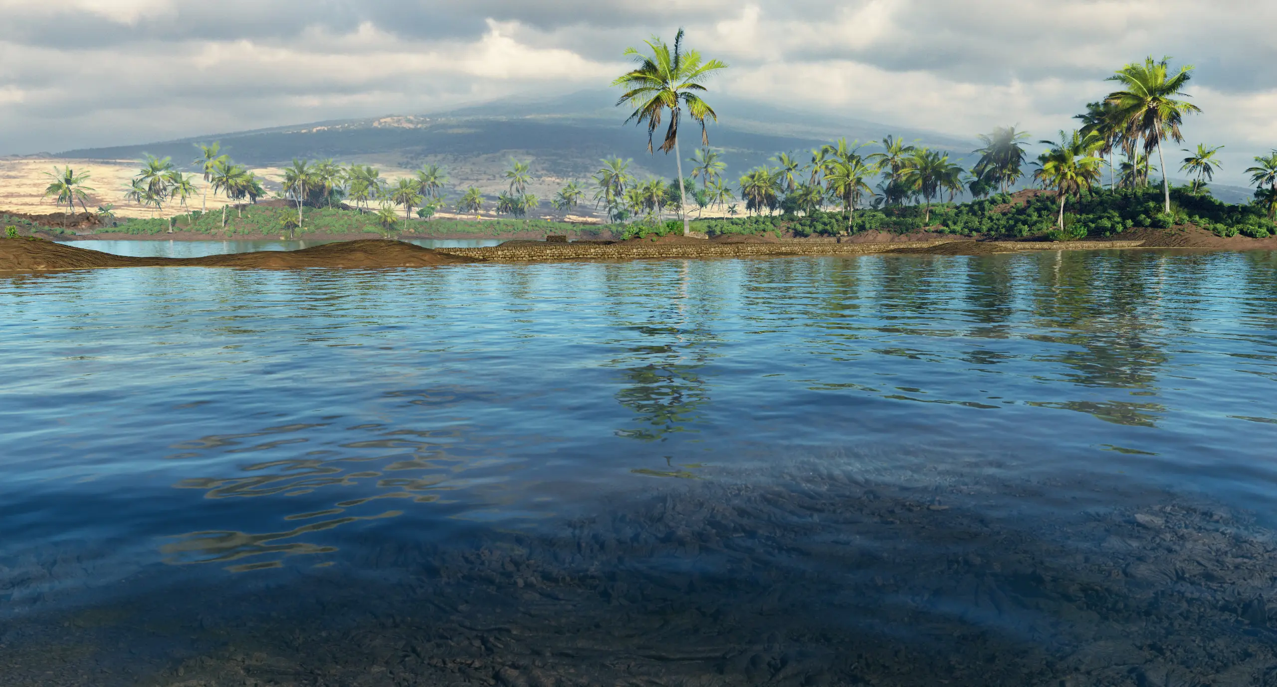
Buried beneath a rust-colored flow of pāhoehoe lies a place of abundance, engineering, and legend. Pāʻaiea, once an enormous, thriving loko iʻa on the North Kona coast was filled by lava flows in 1801. What was lost from the landscape still lives in the winds, the stones, and the knowledge passed forward.
.webp)

A Pond of Purpose, Built by many hands
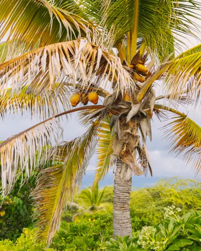
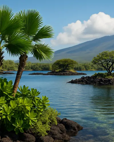
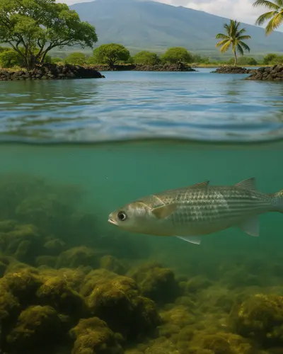
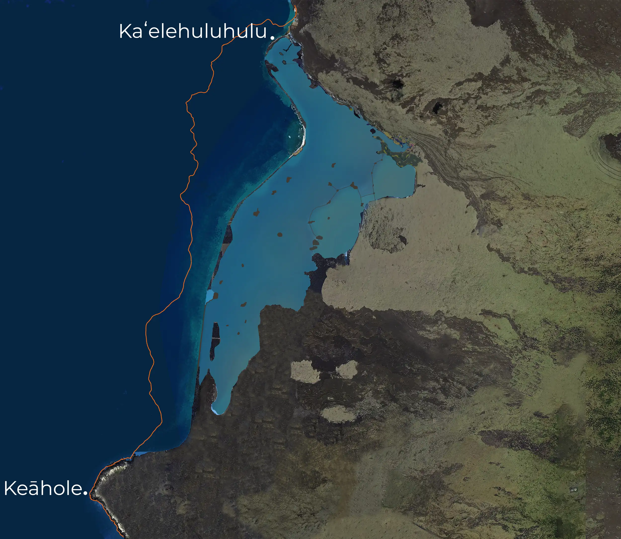
At the westernmost point of the island of Hawaiʻi, between Kaʻelehuluhulu and Keāhole Point, a royal fishpond of Kamehameha once spread across the coastal plain. Known as Pāʻaiea, it was more than a place for raising fish. It was a prized loko iʻa for aliʻi, engineered by expert kāhuna, stewarded by konohiki, and sustained by a complex system of walls, gates, springs, and brackish pools.
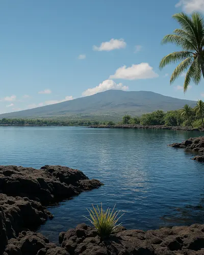
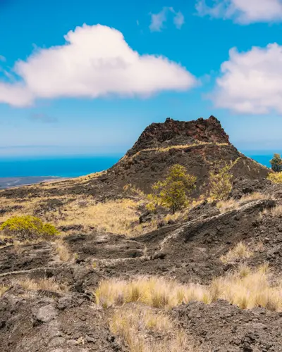
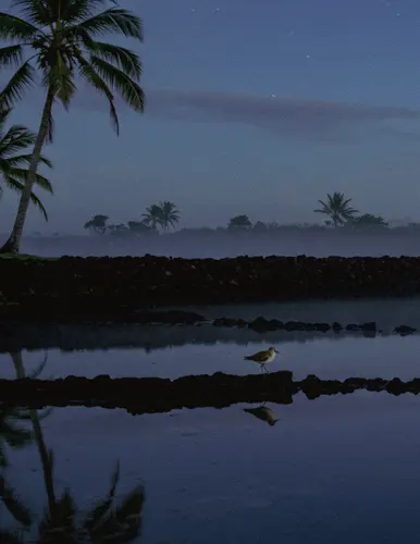
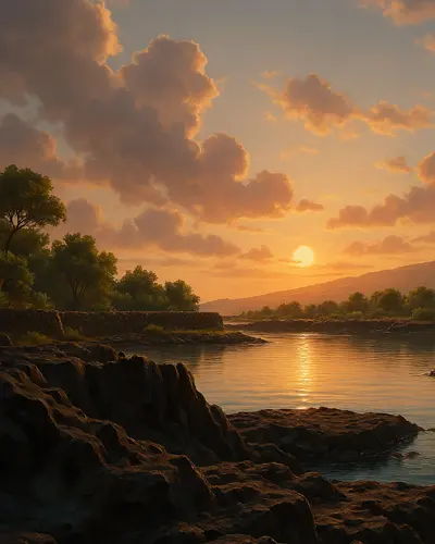
This was a landscape of abundance and intention, situated beside one of Kamehameha’s favorite aku fishing grounds, and reflective of his role not only as a ruler, but as a caretaker of land and sea. Though completely buried by lava in 1801, Pāʻaiea remains central to understanding how Native Hawaiians lived, adapted, and thrived in Kekahawaiʻole, a waterless land shaped by Hualālai and the Mumuku and ʻEka, winds of the region.
Before and After the Flow of 1801
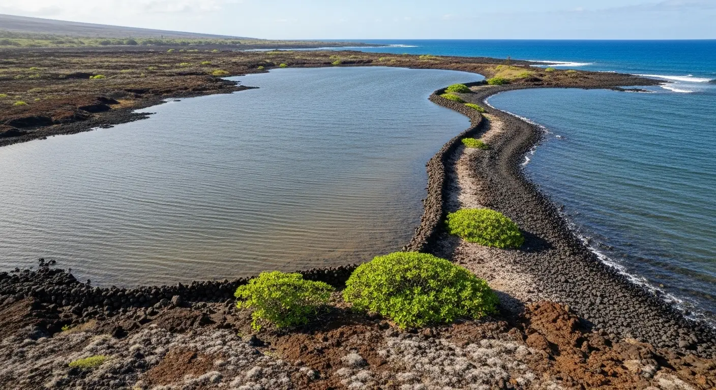
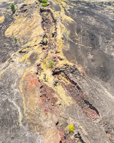
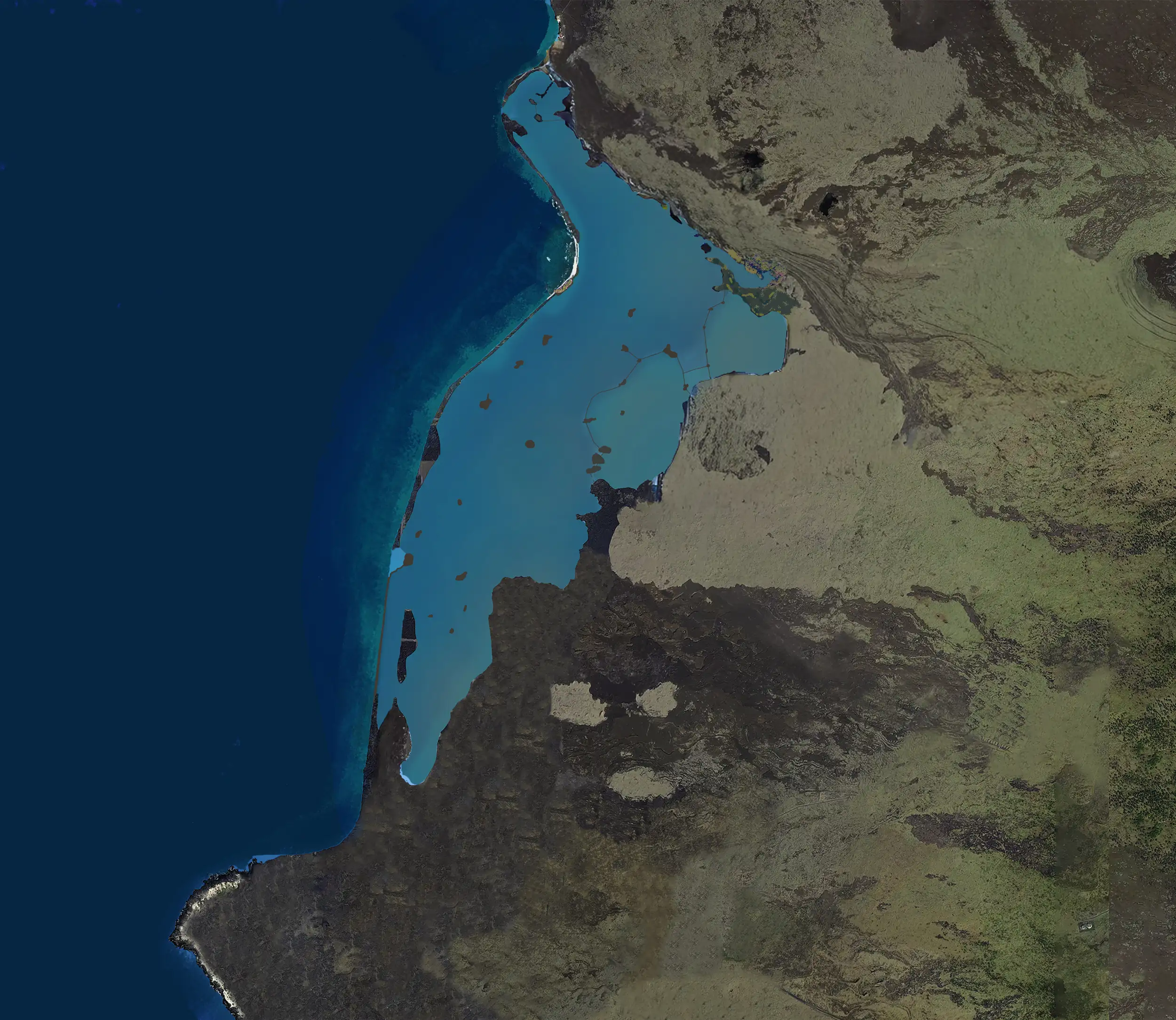
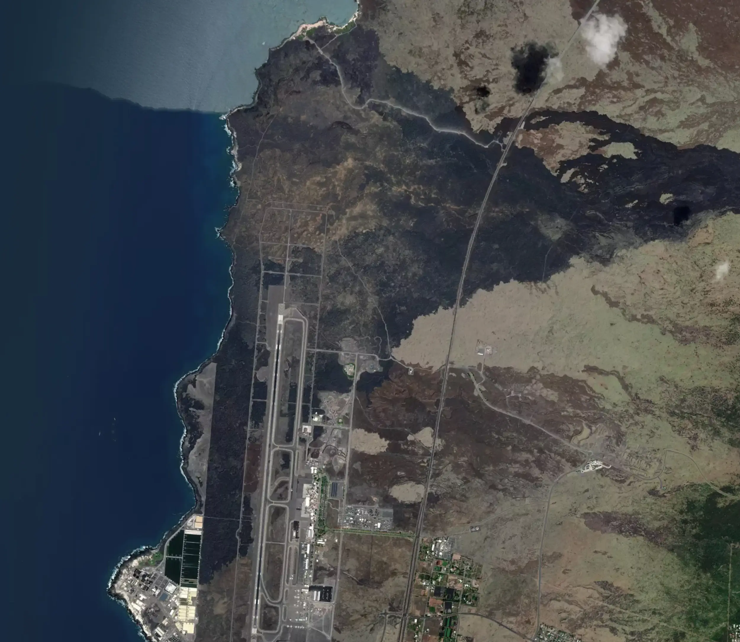
The exact interior layout of Pāʻaiea remains unknown. A historical account describe it as three miles long and a mile and a half wide, making it one of the largest fishponds in Hawaiʻi. At that scale, the pond likely incorporated multiple construction methods: seawalls connecting natural rock formations, anchialine pools providing freshwater, and islets dotting the interior. Fishermen traveled through the pond by canoe, using it as a shortcut to avoid paddling against the ʻEka wind and ocean currents. The orange-hued areas visible today mark where lava met water in 1801, but what lies beneath remains unknown, buried under many feet of multicolored lava rock.
Reading the Land: How Lava Tells the story of Pāʻaiea
When lava flows into water, the rising steam thermally oxidizes iron in the molten rock, creating a distinctive orange rust color in the cracks and on the surface. Today, an orange-hued plateau visible from Queen Kaʻahumanu Highway marks where once were the waters of Pāʻaiea. The 1801 flow entered through active lava tubes, then advanced through the pond toward the ocean. While fresh pāhoehoe elsewhere appears shiny black, the areas that filled the fishpond reveal themselves through their rust-colored signatures—geological evidence of the moment fire met water and transformed a thriving ecosystem into stone.
Exploring Pāʻaiea's History
Loko Iʻa as Complete Ecosystems
Research on the Boundaries of Pāʻaiea
Pele's seeming Affinity for Fishponds
Uncover the Layers of Pāʻaiea

Geology: Beneath the Rust-Colored Flow